The Professional Standard for Commercial Aerial Photography and Video — and Why It Matters to Your Organization
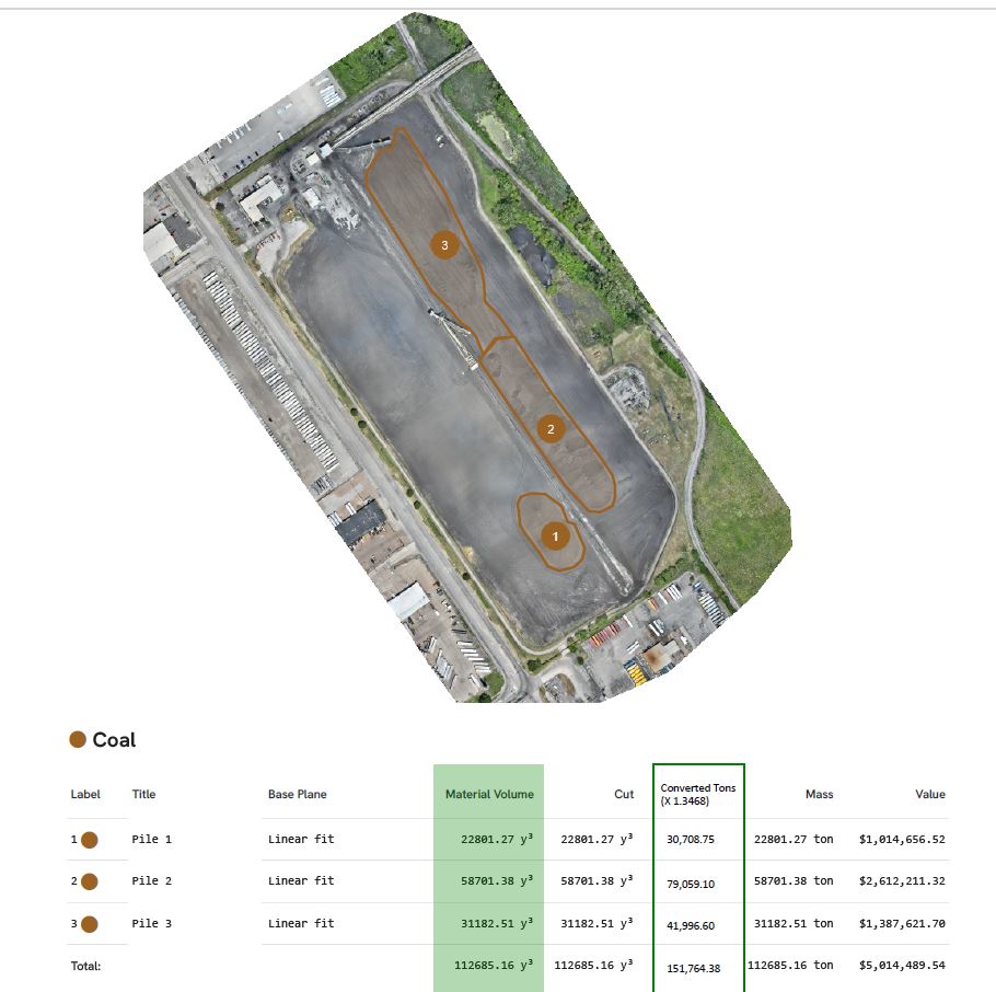
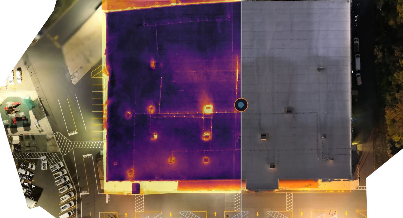
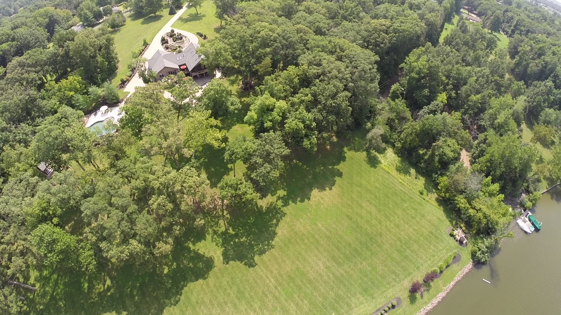
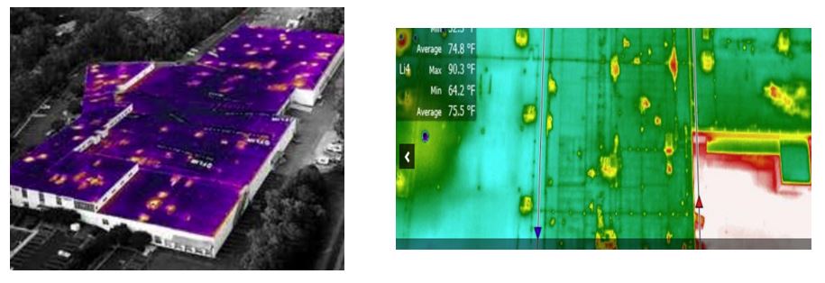
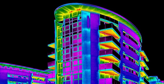
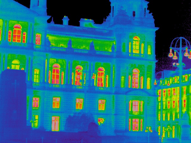
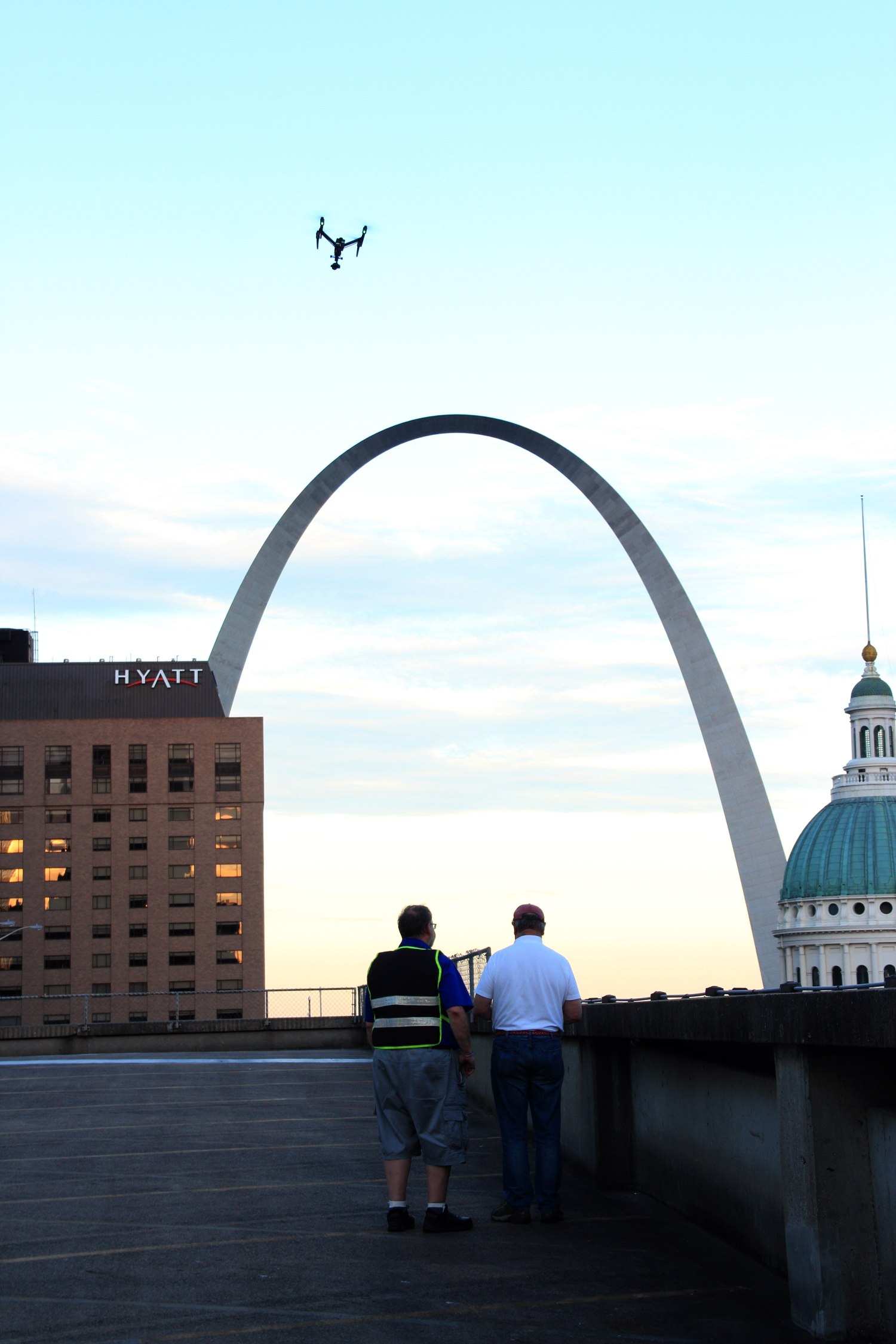
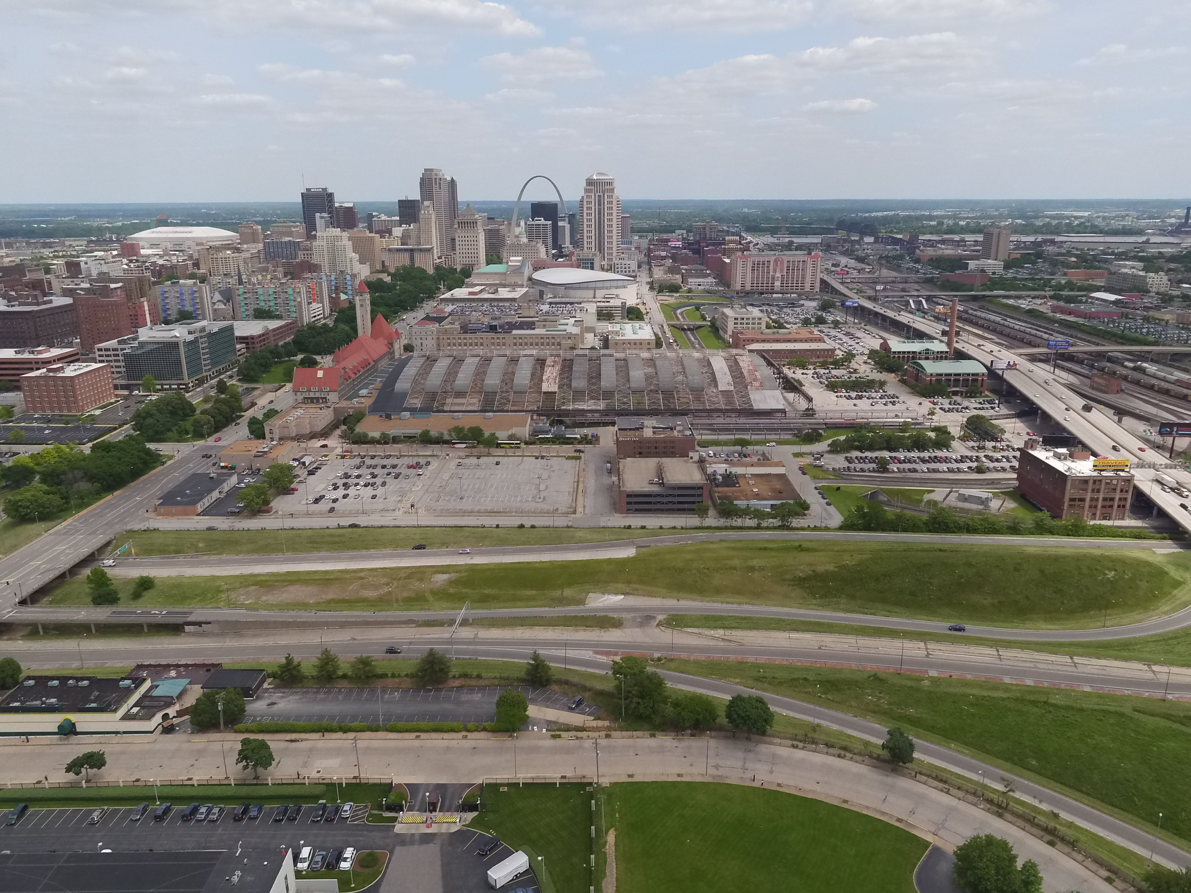
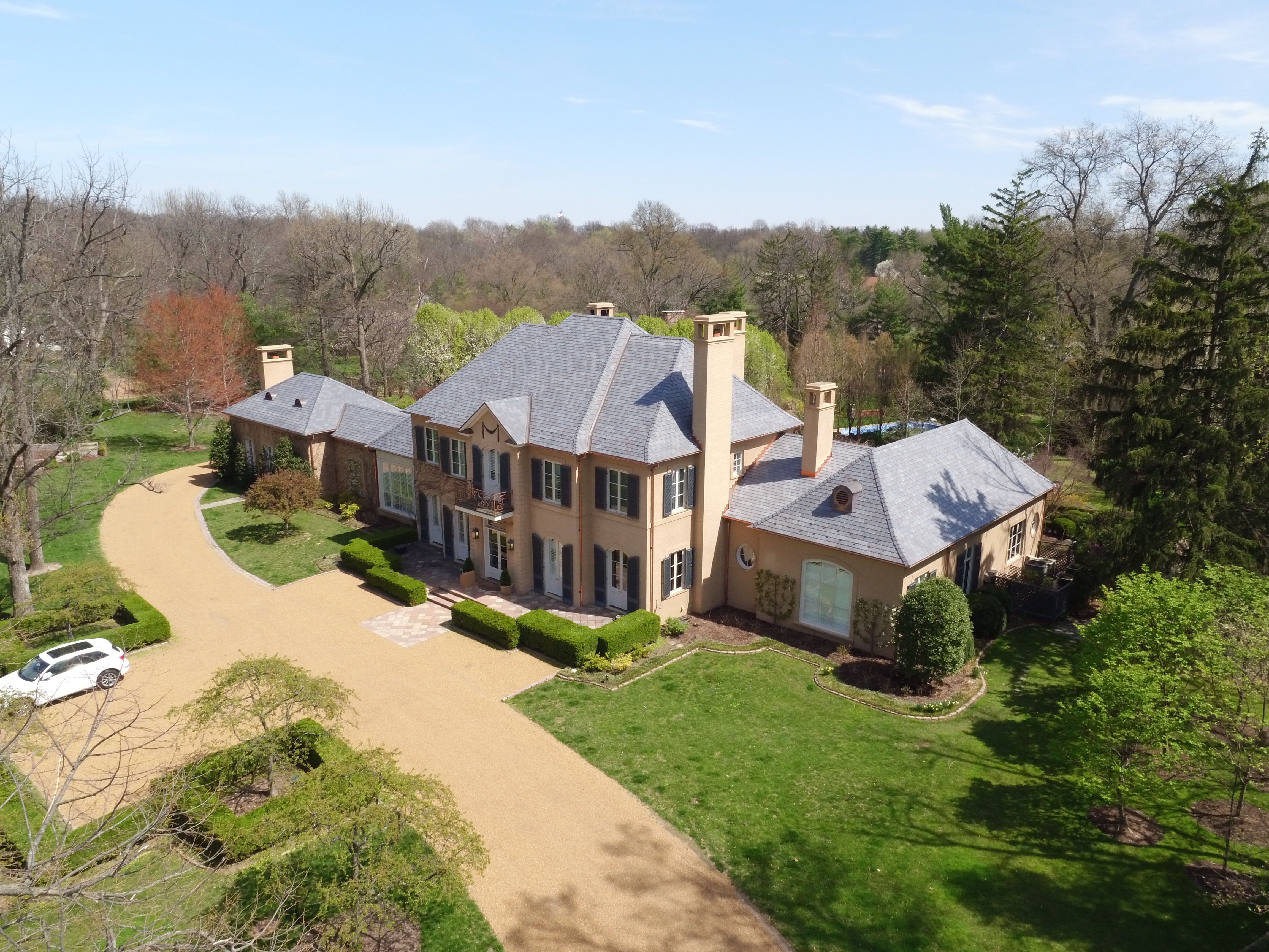
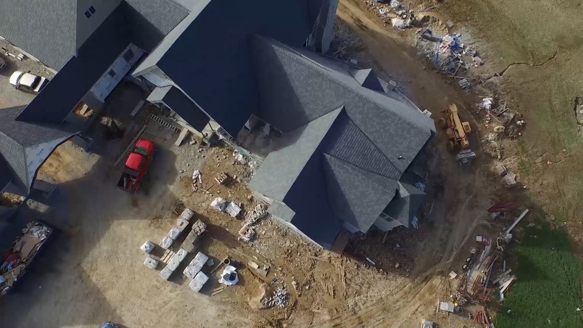
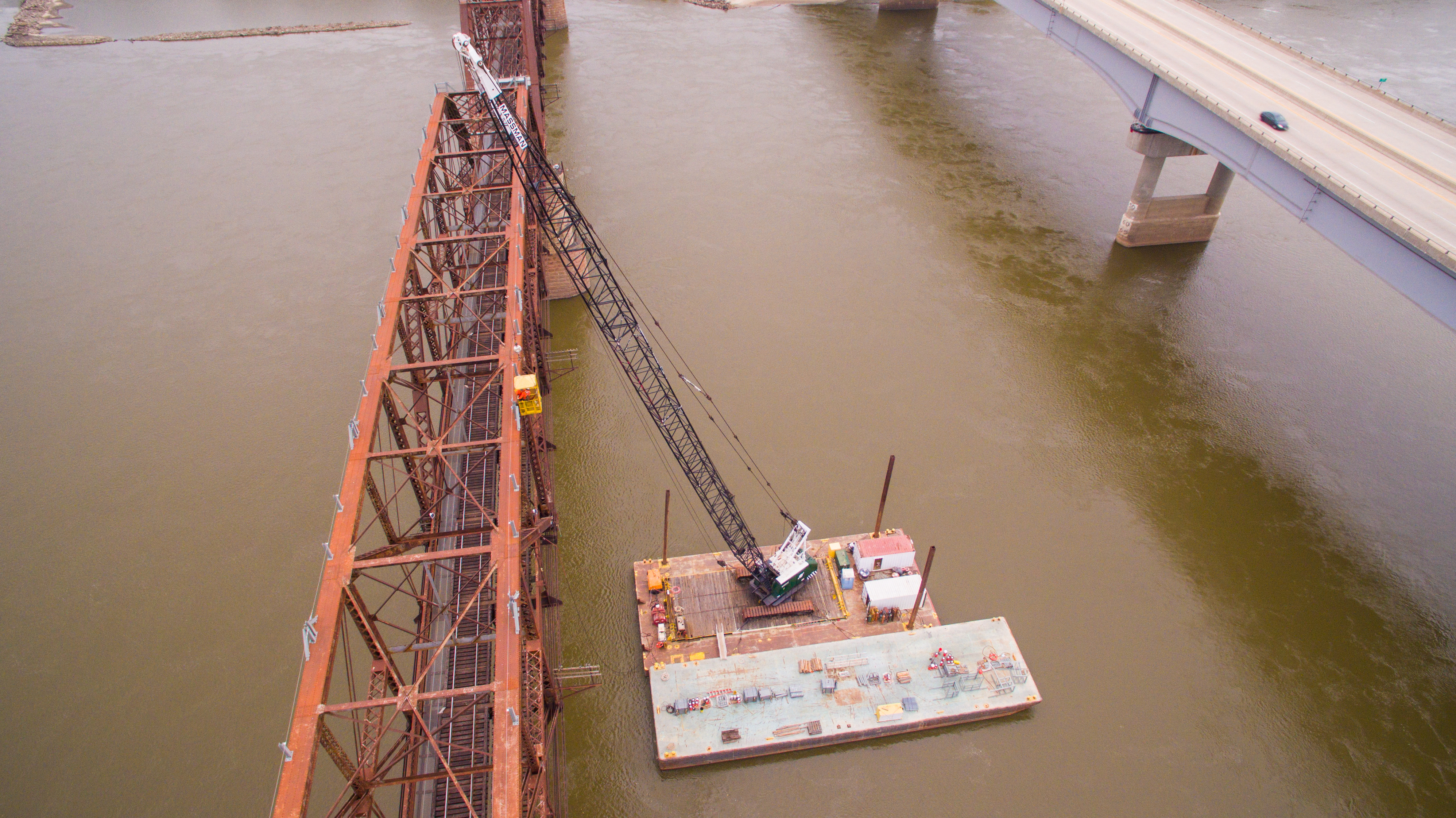
The business case for aerial imagery has never been stronger. From manufacturing facilities and commercial real estate to corporate campuses, infrastructure corridors, and live events, the overhead perspective delivers a visual authority and spatial context that ground-level production cannot replicate. Marketing teams, facilities managers, construction professionals, and brand strategists across virtually every sector have integrated aerial photography and video into their standard production toolkit.
But the operational and legal realities of commercial drone work are frequently misunderstood by the organizations commissioning it. The distance between a professional, credentialed aerial production operation and an unqualified operator with a consumer aircraft is not a matter of creative preference — it is a matter of federal law, organizational liability, data quality, and ultimately whether your production succeeds or fails to deliver what your strategy requires.
This post is written for the decision makers responsible for those outcomes. What follows is a frank, comprehensive look at what professional commercial drone production actually involves — the regulatory framework that governs it, the insurance requirements that protect your organization, the technical capabilities available to informed buyers, and the operational expertise that determines whether any of it produces imagery worth using.
The Regulatory Foundation: FAA Part 107 and What It Requires
Every commercial drone operation conducted in United States airspace is subject to Federal Aviation Administration oversight. The governing regulation is Part 107 of the Federal Aviation Regulations — the Small Unmanned Aircraft Systems rule — which establishes the certification requirements, operational limitations, and compliance obligations that apply to any UAS flight conducted for commercial purposes.
The commercial definition under Part 107 interpretation is intentionally broad. Any drone flight that produces content used for business purposes — marketing video, facility documentation, insurance assessment, construction progress records, survey data, event coverage — is commercial in nature, regardless of whether the flight was performed by an in-house team, a freelancer, or a production company. The requirement is consistent: the pilot in command must hold a valid FAA Part 107 Remote Pilot Certificate issued by the Federal Aviation Administration.
Earning that certificate is not a casual undertaking. Candidates must pass a proctored aeronautical knowledge examination at an FAA-authorized testing center. The examination covers airspace classification and the operating requirements that apply within each class, aviation weather phenomena and their operational implications, UAS performance characteristics and loading considerations, emergency procedures and crew resource management, radio communication protocols, airport operations and traffic pattern awareness, and the full scope of applicable FAA regulations. Certification must be maintained through a recurrent knowledge assessment every 24 calendar months.
Beyond initial certification, many advanced operational scenarios require FAA waivers that go above and beyond Part 107 baseline authority. Night operations, flights over moving vehicles, operations above standard altitude ceilings, and extended visual line of sight work all require specific waivers that must be applied for in advance, reviewed by the FAA, and approved before operations commence. Managing this process requires familiarity with FAA procedures, attention to application lead times, and the kind of regulatory literacy that only comes from operating professionally within the system over time.
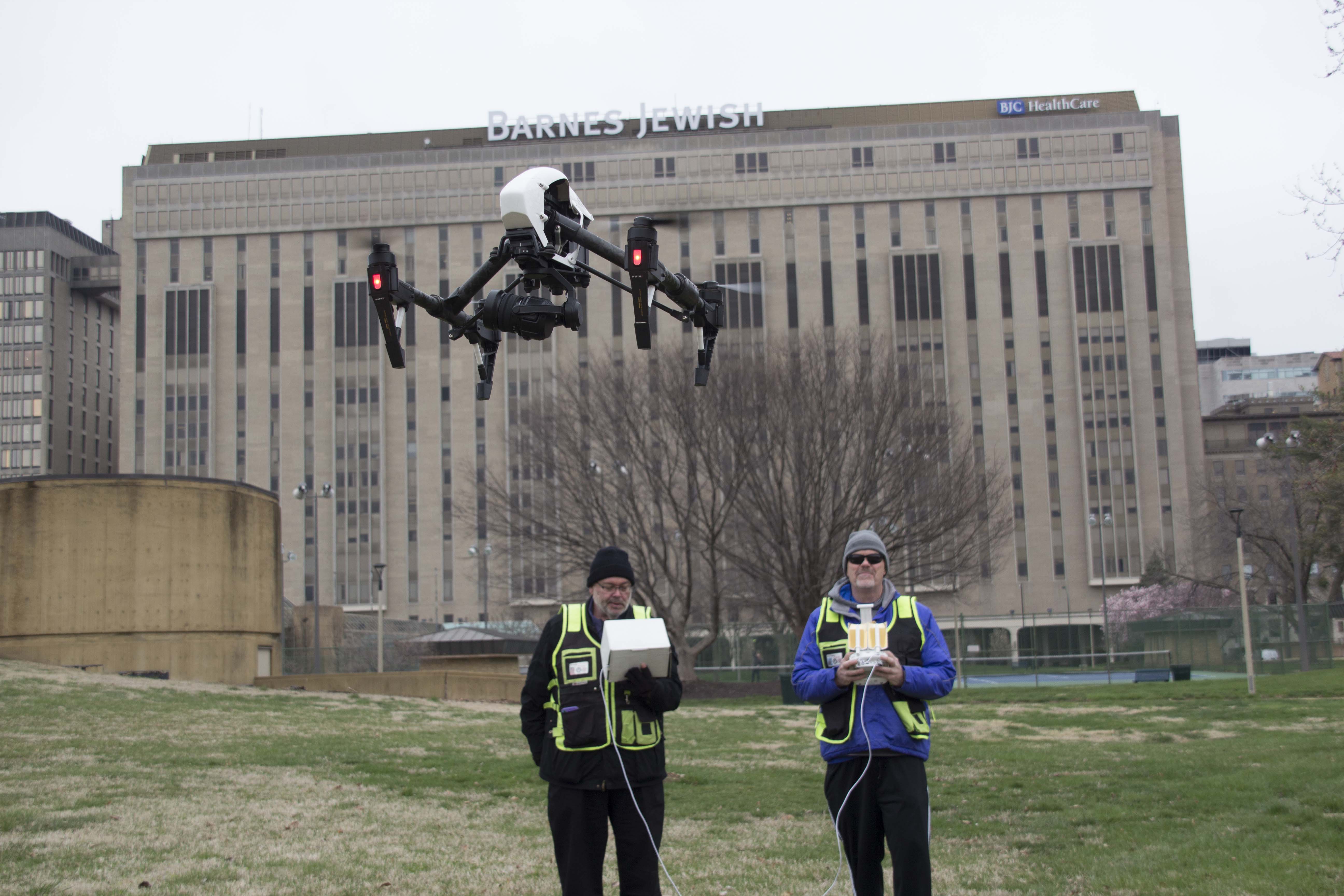
The bottom line for decision makers is straightforward: before engaging any aerial production vendor, confirm Part 107 certification for every pilot who will operate on your project, and request documentation. A professional operation provides this without hesitation. An unqualified operator cannot.
Insurance: What It Covers, Why It Matters to You Specifically
Commercial drone insurance is a distinct product category from the recreational coverage included with consumer aircraft or available through hobby associations. For commercial UAS operations, appropriate insurance encompasses two primary coverage areas: hull insurance, which protects the aircraft and its payload against physical loss or damage, and liability insurance, which addresses third-party property damage and bodily injury claims resulting from drone operations.
For the organizations hiring aerial production services, liability coverage is the figure that demands your direct attention. Commercial drone liability policies for professional production work typically carry per-occurrence limits ranging from one million to ten million dollars, depending on the operator’s scope of work and the risk profile of the environments they routinely operate in. For productions conducted on private property, near occupied structures, in proximity to the public, or within urban environments, adequate liability coverage is not a vendor amenity — it is the minimum acceptable standard of professional conduct.
The practical reason this matters to your organization specifically is that liability in drone incidents does not automatically remain contained to the operator. Depending on the circumstances of an event — a mechanical failure resulting in property damage, a flyaway in a venue that causes injury, a collision during an interior flight — the downstream liability exposure can extend to the client organization, the property owner, the event host, or other parties who granted operational access. Verifying your production partner’s coverage before work begins is a fundamental risk management obligation, not a bureaucratic formality.
Standard professional practice includes providing a certificate of insurance as a routine pre-production deliverable. When project circumstances warrant it — events, third-party venues, client-owned facilities — a professional aerial production company will name your organization or the property owner as an additional insured on the relevant policy. If a prospective vendor treats this request as unusual or inconvenient, that response tells you something important about their operational standards.

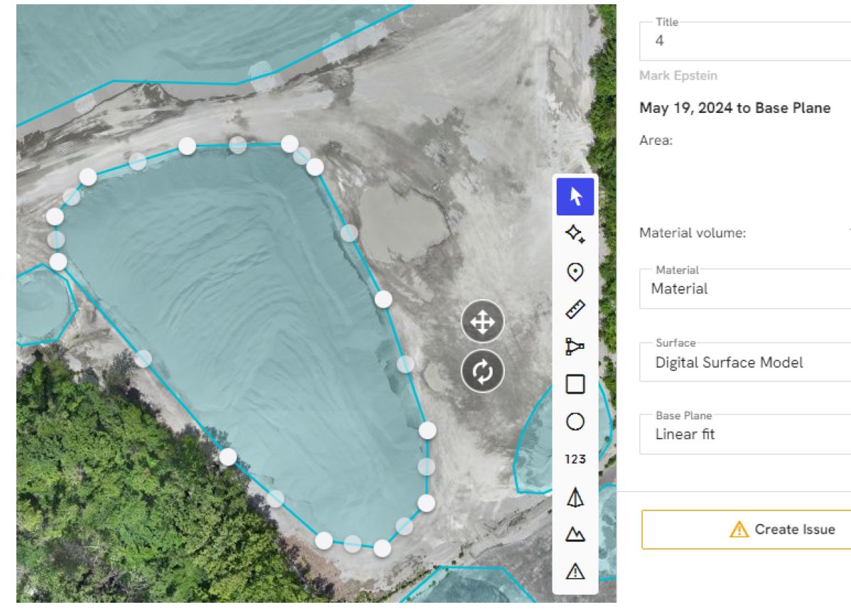
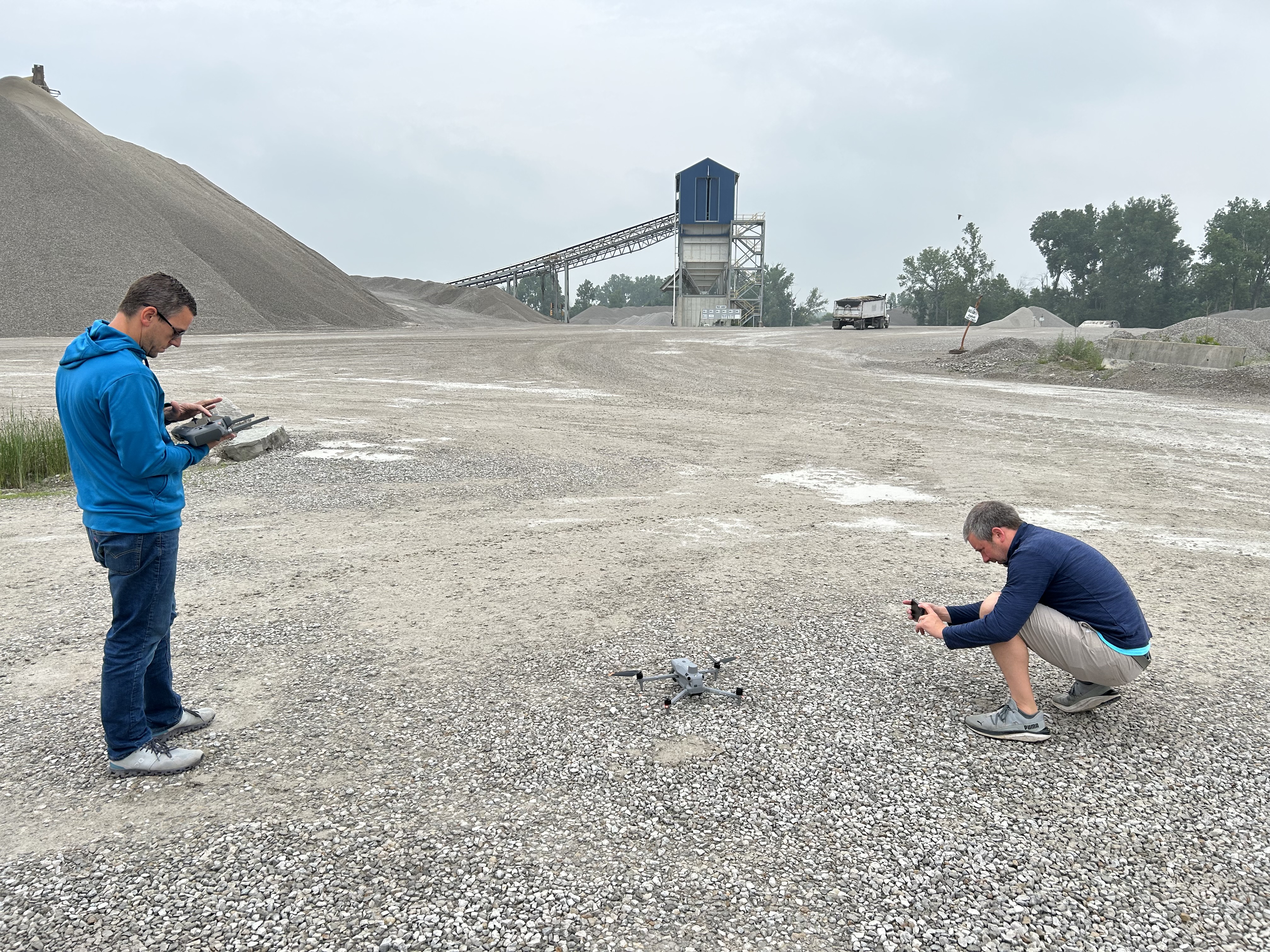
Site Assessment, Airspace Authorization, and Pre-Production Planning
The visible portion of any aerial production — the flight itself — represents a fraction of the professional work involved. The operational planning and regulatory coordination that precede it are where professional aerial producers earn their value, and where inexperienced operators most reliably create problems.
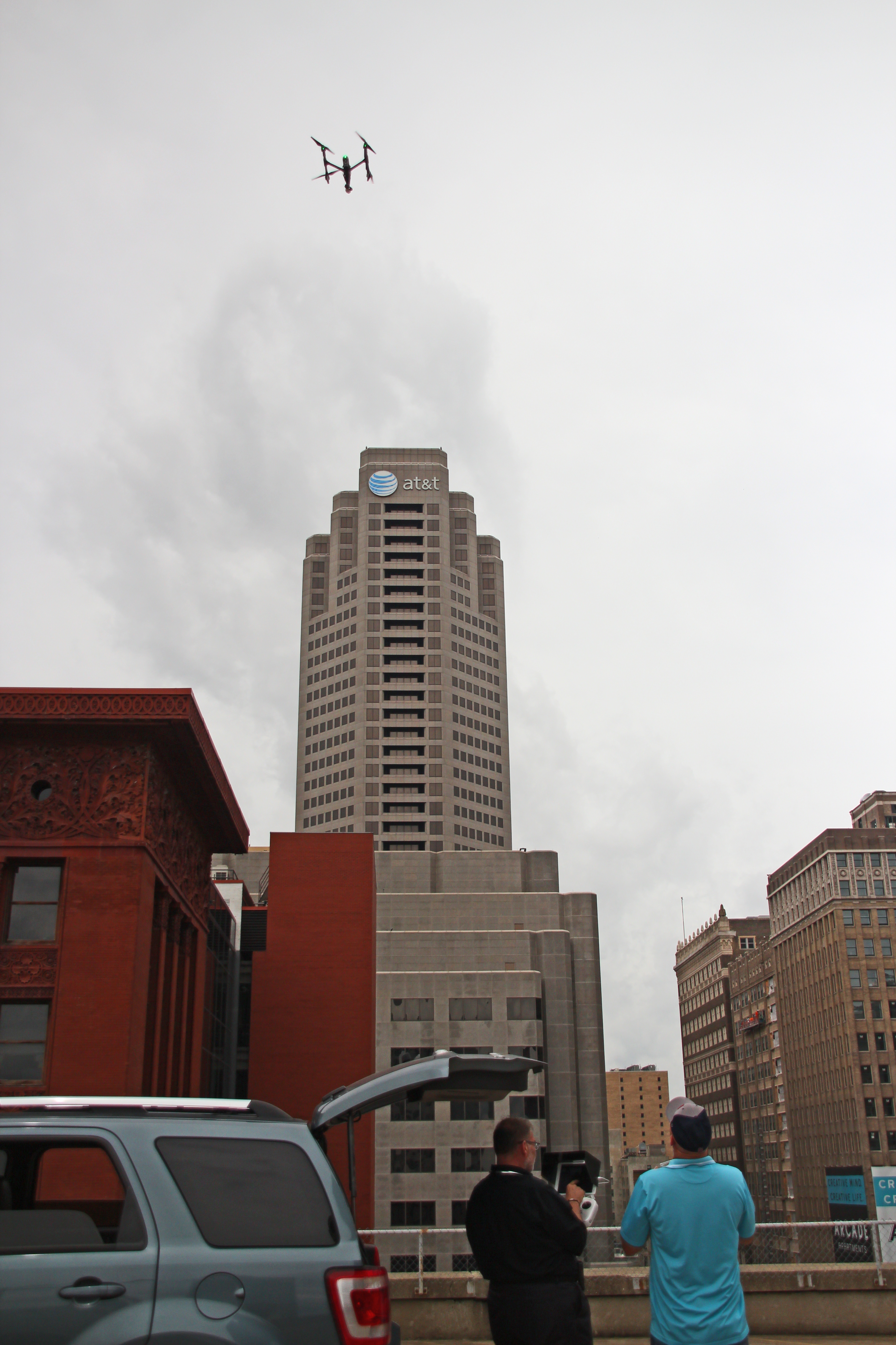
Airspace status assessment is a required pre-production step for every commercial drone flight. The National Airspace System is organized into classifications with distinct operating requirements. Class G airspace — uncontrolled airspace, typically above unpopulated areas away from airports — carries the fewest restrictions for Part 107 operations. Class B, C, D, and E surface airspace surrounding airports, heliports, and other regulated facilities require prior authorization before any commercial drone operations may proceed.
For many controlled airspace environments, the Low Altitude Authorization and Notification Capability system — LAANC — automates the authorization process, enabling near-real-time approvals for operations below defined altitude ceilings within pre-authorized grid cells. For operations that fall outside LAANC parameters, or in airspace not yet covered by the automated system, direct FAA coordination is required. A professional aerial production team knows which authorization pathway applies to a given site and manages that process with appropriate lead time built into the production schedule.
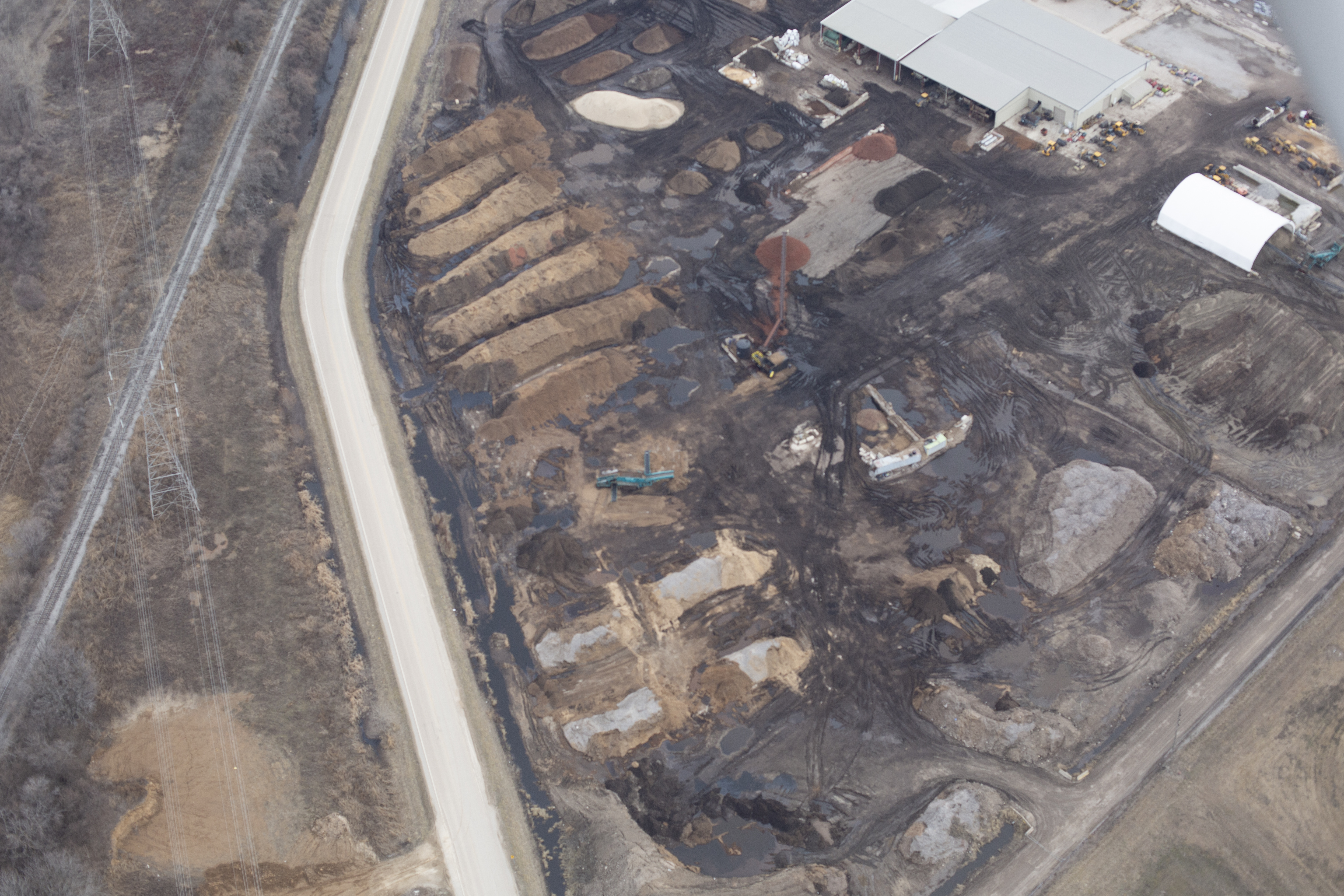
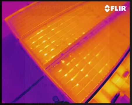
Site assessment goes beyond airspace. Physical hazards — overhead power infrastructure, communication towers, structural features that affect GPS signal reliability, surface conditions that generate rotor wash issues during takeoff and landing — are identified and accounted for in the operational plan. Magnetic anomalies near heavy steel construction or power equipment that can affect compass calibration are identified and addressed. Radio frequency environments that may affect control link reliability, particularly in urban cores or at events with dense wireless infrastructure, are evaluated.
Weather assessment is conducted not just on production day but in the days preceding a scheduled flight, particularly for projects with fixed scheduling constraints. Wind forecasts, precipitation probability, temperature effects on battery performance, and atmospheric visibility are all factored into go/no-go and contingency planning.
This level of pre-production rigor is what separates a professional aerial operation from someone who shows up on the day with an aircraft and improvises. It is also what protects your production from the delays, re-shoots, and liability events that result from inadequate planning.